|
How do I add data to an ArcMap project?
-
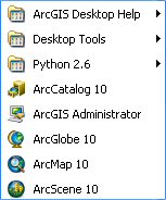
Start ArcGIS by clicking on Start
→
All Programs
→
ArcGIS
-
Click on ArcMap 10 to the the
program. It will take a few seconds for the
ArcMap to start. You should see the logo
while the program in loading.

-
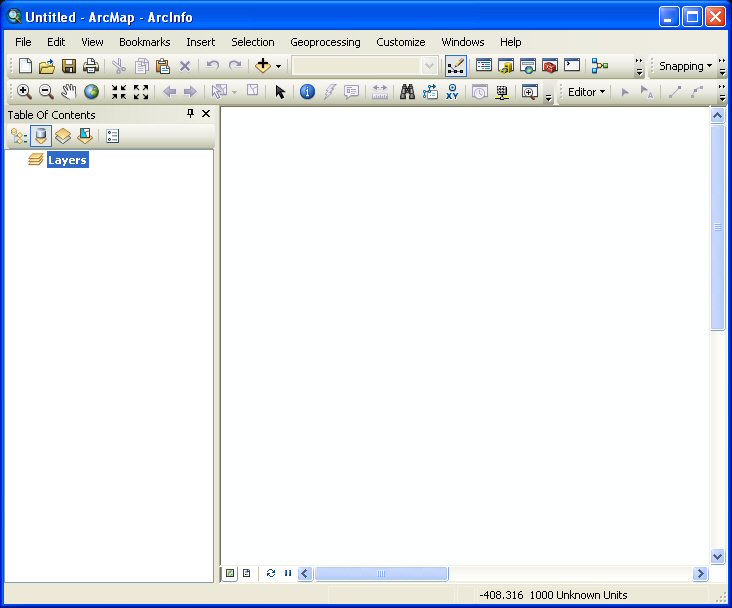
The main interface for
ArcMap should appear as shown below:
-
To add data to the
ArcMap project click on the Add data button
 at the top of the window. The following
window will appear:
at the top of the window. The following
window will appear:
-
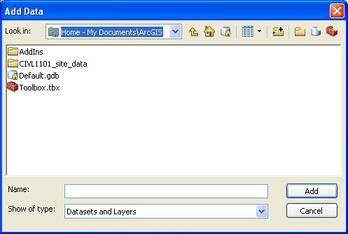
If the "Look in" is not
My Documents\ArcGIS then click on the
pull-down menu and select My
Documents\ArcGIS. In general, we used
the My Documents\ArcGIS folder to store or
work.
Next, click on the appropriate geodatabase
for your project. In this example,
CIVL1101_site_data and the following
window will appear:
-
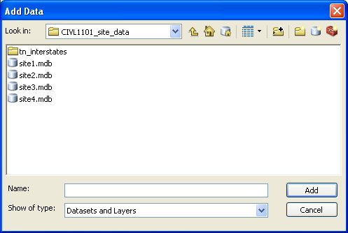
Depending on your site,
click on the the appropriate geodatabase
file. In this case, we are working a map of
Site #1. Click the site1.mdb file and the
following window will appear:
-
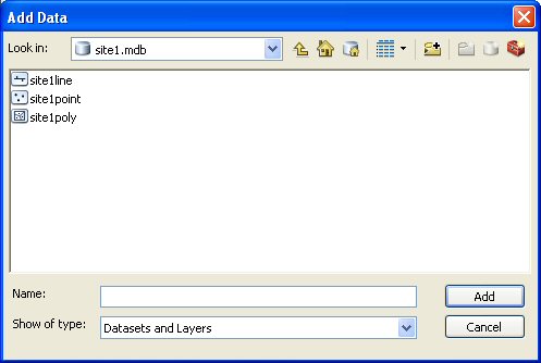
Select each of the file and click Add. In the table below,
note the symbols for each feature class and
the associated filename.
 |
site1point - point
feature file |
 |
site1line - line feature
class file |
 |
site1poly - polygon
feature class file |
-
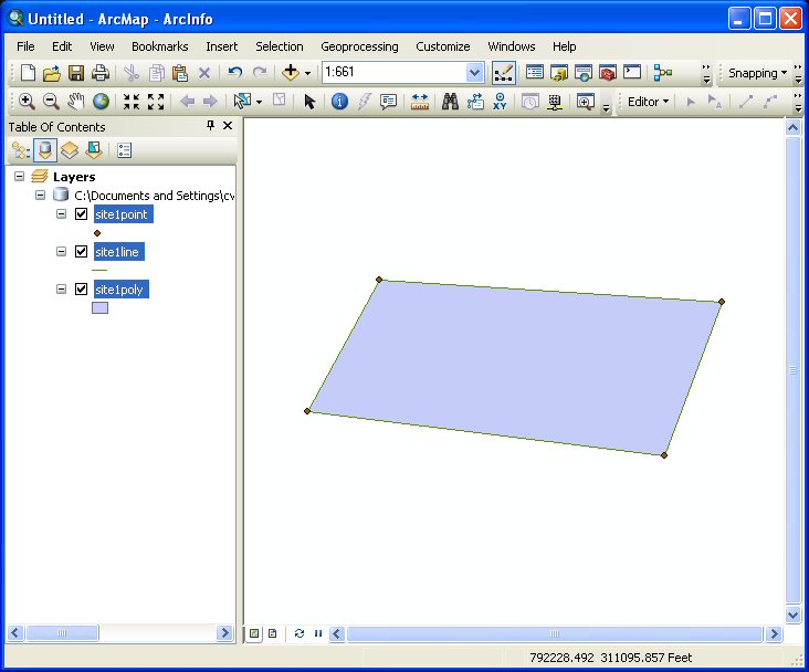
After the data has been selected and added
to the ArcMap Project, the data should be
visible in the main ArcMap window.
-
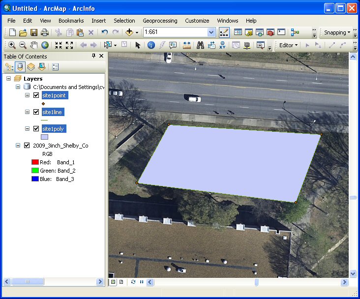
The 2009 Shelby County
aerial photographs can added to your map
project (see
connect to the University Image Server).
-
At this point, additional elements can be
added to the map. For example, as stated in
Assignment #4, the following elements should
be added: a North arrow; a scale with
50-foot increments; and labels for your site
number, the major streets in the area, and
the site's four corner point.
-
Once the map is complete, save your project
by clicking on File
→
Save. The following window will
appear:
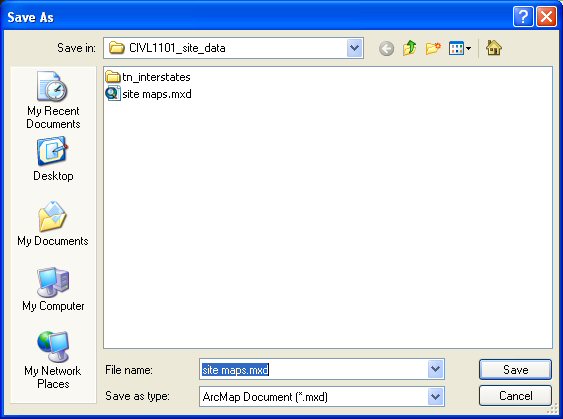
Enter a name for the ArcMap project, in this
case, site maps (note the file
extension for ArcMap projects is *.mxd) and
click OK or Save.
This website was originally
developed by
Charles Camp for
CIVL
1101.
This site is
maintained by the
Department of Civil Engineering
at the University of Memphis.
Your comments and questions are welcomed.
|

