|
How
do I connect to the University CPGIS Image Server?
-
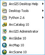
Start ArcGIS by clicking on Start
→
All Programs
→
ArcGIS
-
Click on ArcMap 10 to the the
program. It will take a few seconds for the
ArcMap to start. You should see the logo
while the program in loading.

-
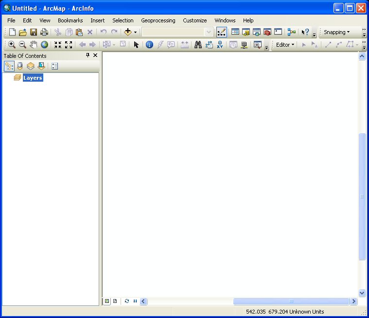
The main interface for
ArcMap should appear as shown below:
-
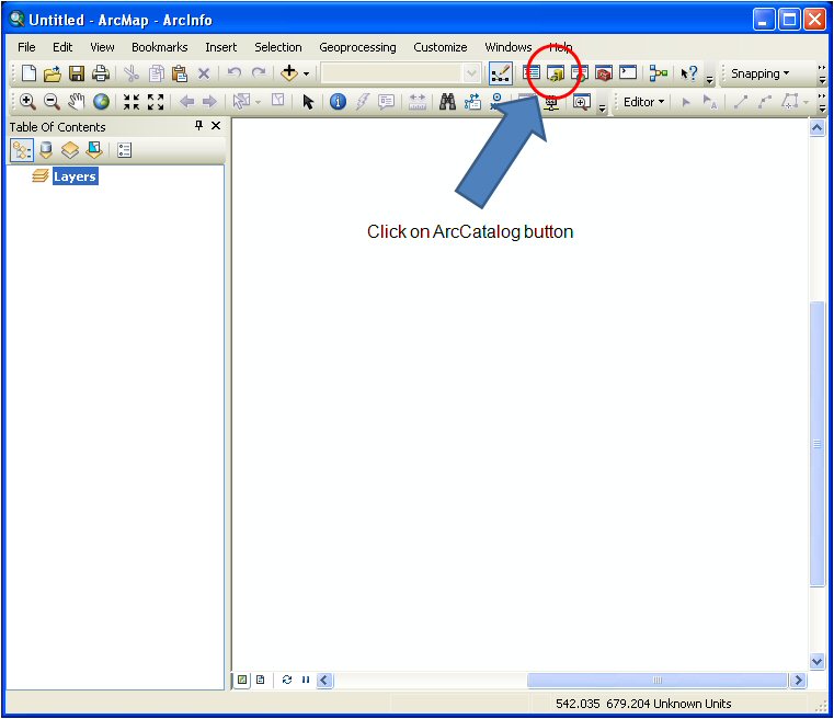
In ArcMap click on on the ArcCatalog button
at the top of the interface to start
ArcCatalog.
-
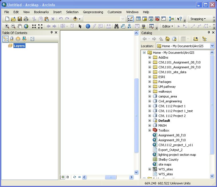
The ArcCatalog panel will open as show
below.
-
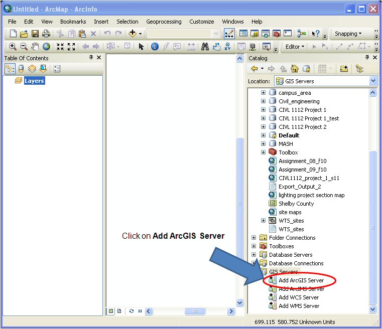
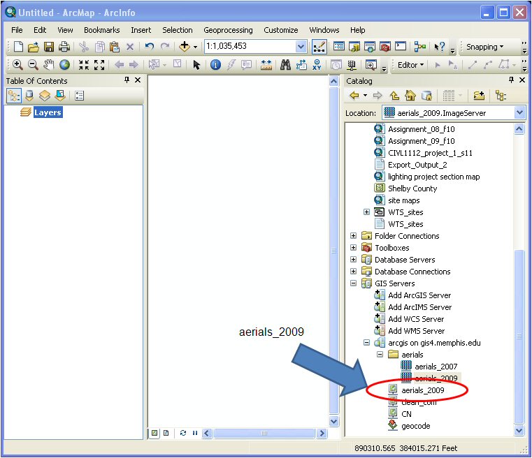
Scroll to the bottom of the window and click
on GIS Servers and then Add ArcGIS
Server.
-
Click on the Use GIS Services button.
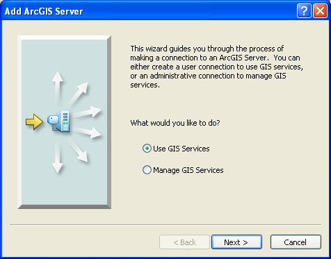
-
Click Next and the following window
will appear.
-
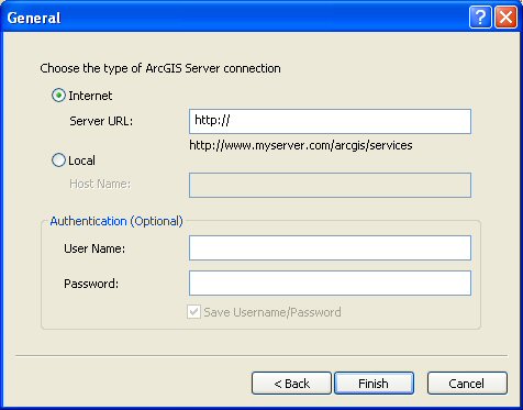
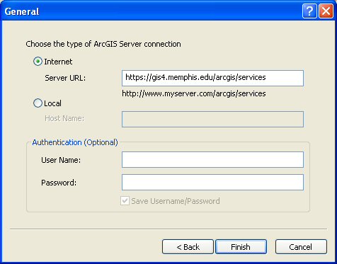
Under Internet Server URL enter:
https://gis4.memphis.edu/arcgis/services
-
At the bottom of the ArcCatalog window the
argis on gis4.memphis.edu server will
be displayed. Click on the argis on
gis4.memphis.edu server link and expand
aerials.
-
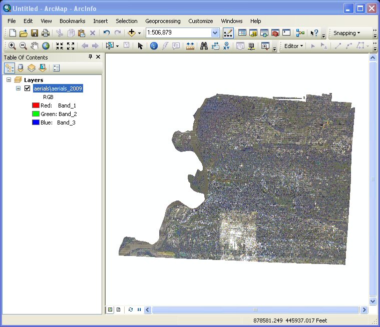
Next, drag aerials_2009 over to the
Table of Contents and close
ArcCatalog. The 2009 Shelby County
3-inch aerial photographs will display in
the ArcMap main window as shown below:
-
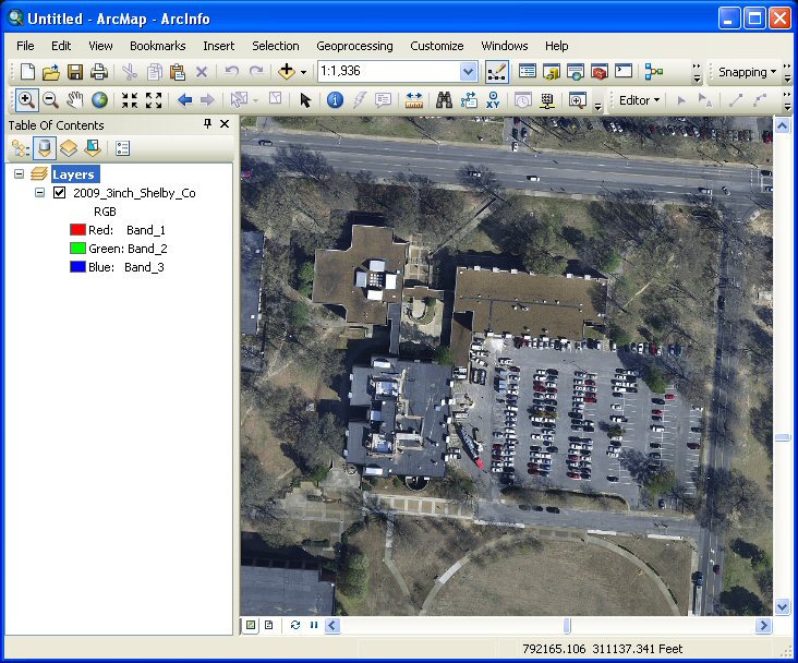
Using the Zoom In
button
 you can probably find the University and
then the Engineering Science Building.
you can probably find the University and
then the Engineering Science Building.
This website was originally
developed by
Charles Camp for
CIVL
1101.
This site is
maintained by the
Department of Civil Engineering
at the University of Memphis.
Your comments and questions are welcomed.
|

